
In a groundbreaking achievement, researchers at the University of Leeds have introduced a neural network capable of swiftly and precisely mapping the vast expanses of large Antarctic icebergs in satellite images. This innovative approach takes a mere 0.01 seconds, a stark departure from the time-consuming manual efforts previously required.
Lead author Anne Braakmann-Folgmann, who conducted this research during her PhD tenure at the University of Leeds and is currently at the Arctic University of Norway, emphasizes the significance of large icebergs in the Antarctic environment. These icebergs impact various aspects such as ocean physics, chemistry, biology, and maritime operations. Therefore, accurately locating and monitoring their extent is crucial.
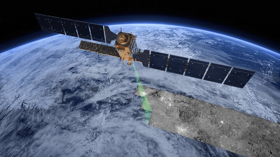
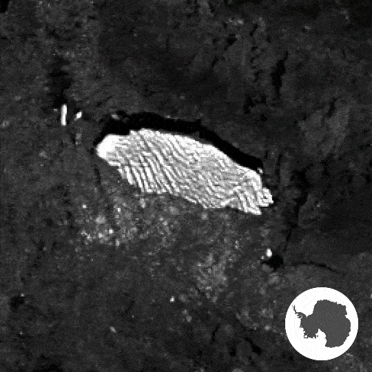
The Copernicus Sentinel-1 radar mission plays a pivotal role in this novel approach, providing images of icebergs regardless of cloud cover and lack of daylight. While traditional satellite images make distinguishing icebergs from other elements challenging, Sentinel-1’s radar images portray icebergs as bright objects against the darker ocean background. However, complexities arise in differentiating icebergs from surrounding sea ice or the coastline.
Dr. Braakmann-Folgmann explains the challenges: “We have sometimes struggled to separate icebergs from surrounding sea ice… Also, smaller iceberg fragments… are easily grouped together with the main iceberg by mistake.” Enter the new neural network, designed based on the U-net architecture, which excels in mapping iceberg extent even in challenging conditions. Its strength lies in understanding intricate non-linear relationships and considering the entire image context.
The neural network proves highly proficient in identifying the largest iceberg in each image, crucial for monitoring changes in iceberg area and thickness. Training on a diverse dataset achieved an impressive accuracy of 99%, tested on icebergs ranging from 54 sq km to 1052 sq km. Dr. Braakmann-Folgmann envisions operational applications, stating, “Being able to map iceberg extent automatically with enhanced speed and accuracy will enable us to observe changes in iceberg area more easily.”
Mark Drinkwater from the European Space Agency (ESA) commends the team for introducing this innovative machine learning approach, automating the manual and labor-intensive task of locating and reporting iceberg extent.
The neural network marks a significant leap in advancing the understanding and monitoring of changes in the vulnerable Antarctic region.
