
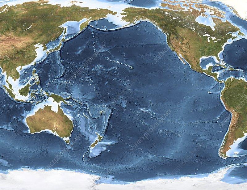
Hidden beneath the surface of Monterey Bay lies a spectacular underwater world known as Monterey Canyon, an awe-inspiring submarine marvel that stands as one of the largest of its kind along the North American west coast. Recently, engineers have achieved a remarkable feat by meticulously mapping and monitoring this canyon with unprecedented precision, using an innovative sensor suite. The results of their study, published in JGR Earth Surface, have unveiled the captivating processes that have shaped this concealed underwater wonder, offering valuable insights into marine ecosystems and coastal geohazards.
The enormity of Monterey Canyon is simply breathtaking. It possesses a staggering breadth of about 7.5 miles (12 kilometers), an astounding height of 5,580 feet (1,700 meters), and a staggering length of 292 miles (470 kilometers) beneath the ocean’s surface. Incredible depths of 2.5 miles (4 km) below the ocean’s surface are reached at its deepest point.
To really get into the guts of the underwater environment, scientists got inventive by using something called Low-Altitude Survey System (LASS). It’s a fancy piece of tech created by engineers at MBARI. This fresh system is attached to an ROV and uses leading lasers and sonar to do some crazy scannings that are just 10 feet above the seafloor. The pristine pics it captures are then blended with bathymetry info for a totally genuine view of what lies beneath.In a groundbreaking geological endeavor, the lidar bathymetry data from LASS uncovered centimeter-scale textures in the sediment on the canyon floor, undetectable by traditional methods like ship-based sonar or autonomous mapping robots. The technology continues to reveal unexpected discoveries even after more than two decades of exploring Monterey Canyon. The research also deployed a Seafloor Instrument Node (SIN) in the canyon, which recorded fast-moving turbidity currents—resembling underwater landslides—with speeds reaching up to 7.4 miles per hour (11.9 kilometers/hour). These powerful currents significantly reshape the canyon floor, continuously eroding and filling in features. Interestingly, the surveys showed that the impact of these currents lessens as they move further away from the coast.
Furthermore, the study shed light on the influence of tides in shaping the seafloor, causing small-scale scours and altering sediment textures on a centimeter scale, potentially leading to more substantial changes over time.
Beyond its scientific significance, the findings of this study hold immense value for ecological studies, geological research, and understanding coastal geohazards and infrastructure vulnerabilities. Monterey Canyon remains a testament to the wonders concealed beneath our planet’s surface, reminding us of the importance of exploring and preserving these hidden treasures in the depths of the ocean.
