A new project beginning in Melbourne, Australia aims to use the vast data available from large cities for deep learning AI and predictive modeling. This will be used to reduce travel times, reduce emissions, and influence behaviors in all sorts of other ways as part of “the world’s smartest traffic management system.”
The “Intelligent Corridor” is a three-year trial to be run on a 2.5-km (1.5-mile) stretch of Nicholson Street, Carlton – one of Melbourne’s busiest roads. The University of Melbourne has partnered with Austria’s Kapsch TrafficCom and the Victorian Department of Transport, among others, on the project.
Among others, the data will be retrieved from CCTV camera feeds, Bluetooth sensors, air quality monitors, live public transit information, TomTom live traffic data, weather data, live traffic light signal and phase data, intersection logic data, and more.
The “Ecotraffix” system will be able to control the traffic lights at every intersection in the corridor for optimal flow. At the project launch, Kapsch’s David Bolt gave an example: “We’re taking a video stream from one of the hundreds and thousands of cameras across the network, we’re using our deep learning versatile platform to analyze and annotate it, and we’re then forming insights. We’re looking at queue length detection, for example, at a lane level. That influences the signal phase and timing. I can start to dynamically adjust and optimize this intersection, and further up, other intersections down the corridor.”
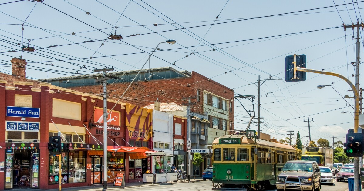
If an accident prevents trams from getting through a certain intersection, the system can match each upcoming tram it’s likely to affect with recommendations that’ll get its passengers where they’re headed, either by switching trams or by taking a short walk to another way in and then get that message through to the tram driver.

“We’re able to communicate to drivers through the APIs and plugins that we’ve bolted onto the platform,” said Bolt. “It’s a social engineering challenge to change the habits of how you drive … This is all about preparing the infrastructure for what’s needed going forward. So how do we send out information to connected vehicles? How’s that information being sent to non-connected vehicles? How do we prepare for autonomous vehicles?”
The project will naturally capture before-and-after data to measure and track the system’s effectiveness. Kapsch says the system is designed to scale from a small single intersection and short corridor deployments like this one, all the way up to massive city-wide implementations since it’s location-independent and can work with whatever data is available.


