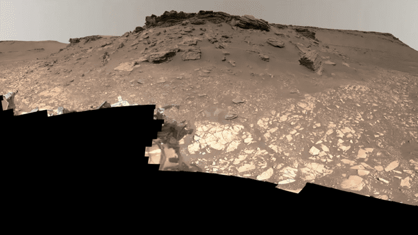
The latest Mars panorama from NASA’s Perseverance rover is absolutely accurate and breathtaking. There are 2.5 billion pixels worth of rocks, sand, sky, and rover parts in there. On Wednesday, the space agency unveiled the most accurate photograph of the Martian landscape so far, and it is spectacular.
NASA has made a video tour of the image available. Rachel Kronyak of the Perseverance Science Operations team takes us on an old river delta zone tour in the Jezero Crater. Sedimentary rocks, hills, cliffs, rover wheel tracks, and sample collecting sites are highlighted throughout the tour.
The pixel count of the photograph surpasses a previous 1.8 billion-pixel panoramic of the Gale Crater taken by the Curiosity rover in 2020. The new view comprises 1,118 individual photos captured by the Mastcam-Z, a camera system positioned on the rover’s “head.” The images were taken between June 12 and June 20.
NASA’s color-processed, full-resolution version of the image is 3.85GB in size, but that means space enthusiasts can obsess over every minute feature. The video tour comes ahead of the agency’s Thursday briefing, including highlights from Perseverance’s first year and a half on Mars.
With its aquatic history, the delta is an interesting area for exploration. NASA expects that Perseverance will aid in determining if Mars previously supported microbial life. The rover is gathering samples at the delta that NASA plans to return to Earth for analysis.

