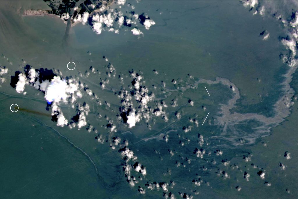
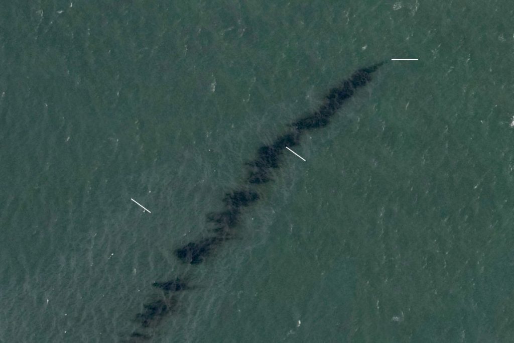
Human beings have never ceased to amaze when it comes to destroying our only known habitat. The one discussed in the title and subsequently in the article is an oil spill stretched over an area of 10 miles of the coast of the Gulf of Mexico. The spill was discovered by space tech companies Planet Labs and Maxar Technologies using satellite imagery reported by the New York Times.
According to the US Coast Guard officers, the spill probably came from a pipeline controlled by the Texas-based petroleum and gas business, Talos Energy. However, experts suspect that Hurricane Ida destroyed the pipeline.
John Scott-Railton, a senior research researcher at The Citizen Lab, initially identified the origin of an oil leak. Then, he used satellite imagery to investigate the destruction of Hurricane Ida.

“The fact that it was possible to find this spill is owed to the fact that NOAA made aerial imagery publicly available,” Scott-Railton told the NYT. “Had NOAA not made that public, it would have been a lot harder to uncover what is clearly an unfolding environmental problem.”
The amount of oil spilt in the Gulf is unclear. However, the spill was first spotted on Monday from survey flights led by several Gulf Coast producers and was reported to the Coast Guard.
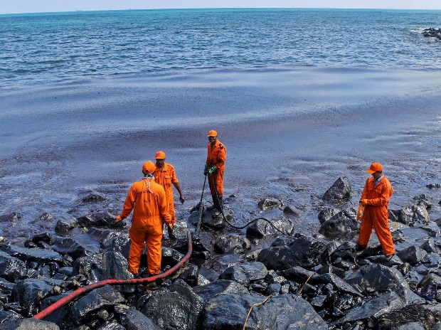
Clean-up crews are working to contain the substantial oil spill in the region, according to aerial survey images, ship tracking data and interviews with local officials and others involved in the spill response. Boats from the US Coast Guard have not yet made it to the site. But according to Lt. Edwards, 42 gallons of material had so far been recovered from the water. The agency has launched a preliminary investigation, he added.

On Friday, the US Office of Environmental Security published a media update that workers from 133 manufacturing platforms and six drilling rigs were evacuated. The office plans to check these facilities and has stated that it will immediately return those without harm to the facility.
Experts who examined the satellite images said the spill appeared to be ongoing and significant.
“It’s a substantial leak that requires further investigation,” said Oscar Garcia-Pineda, a scientist at Water Mapping, a Gulf Breeze, Fla.-based consultancy, who has led research into the use of satellite and aerial images for oil spills. “I see an indication of thick heavy oil, which is the main dark feature, surrounded by a rainbow sheen,” he said.

This event is solid evidence of how the artificial change in the climate, i.e. Hurricane Ida, can further damage our environment, i.e. massive oil spills. It further illustrates the tremendous dangers that can arise in the face of a calamity for our energy infrastructure – especially if this system depends upon a toxic environment such as oil.


