
Ever wondered how the incredibly useful weather radars work? This technology has revolutionized the meteorological sciences and has arguably saved millions of lives over the past six decades. Using its tracking technology, it can go from predicting incoming deadly tornadoes to alerting people on preparing for an onslaught by a blizzard. The radar is an incredible piece of technology, and today, we will tell you how it works!
Working
An accident discovered the technology! During World War II, the troops found that their radars used for spotting enemy aircraft could also detect the incoming precipitation. While the discovery helped the armies keep a watch over storms to assess flying conditions; soon after the war, meteorologists got their hands on the device and developed it into the incredible tool we use every day.
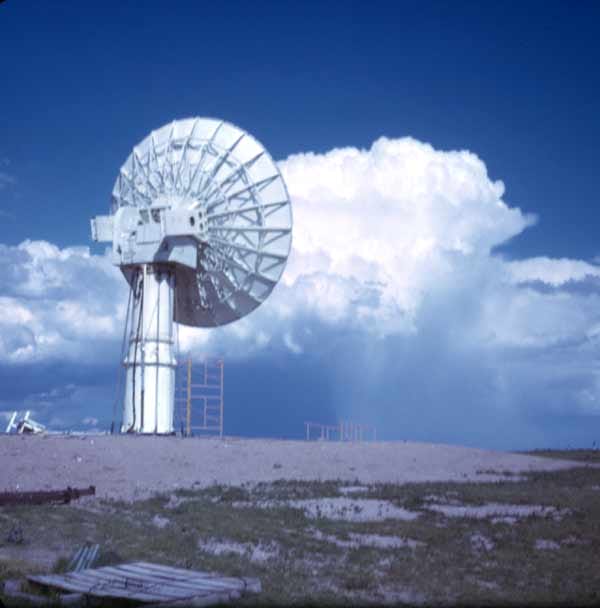
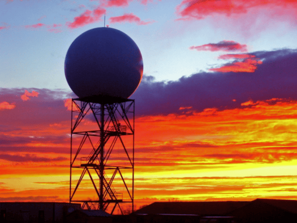
Today’s high-tech Weather radars support a rotating dish that is covered by a large white dome. The dish sends pulses of energy, also known as the radar beams, into the atmosphere. These pulses then help to detect objects like rain or hail. The beam reflects if it encounters an object and then returns to the radar site.
Strength
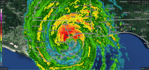
The severity and strength of an incoming storm are judged via return beams’ power and return time back to the radar. A rainbow scale is employed on the map, which spans from light blue to dark red and purple. Cool colors can indicate light precipitation and the dark colors show heavy precipitation. If the scale shows batches of oranges, reds, and purples, it means the area is in for an intense thunderstorm.
The advance radar technology mode called “dual polarization,” allows it to send out two beams of energy, one horizontally and another vertically. The dual radar detects the size and shape of the objects which fall. This information helps in differentiating between rain, hail, snow, sleet, and any other foreign objects like tornado debris. According to the National Severe Storms Laboratory, this is “the most significant enhancement ever made to the nation’s radar network since Doppler radar. (explained below)”
Velocity
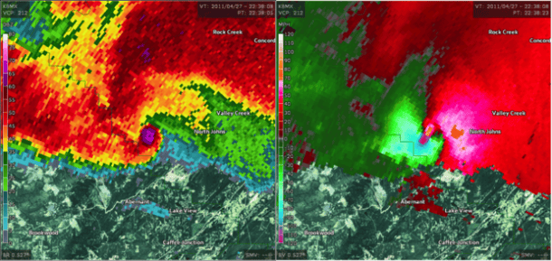
Another fantastic feature includes the usage of the Doppler effect in the radar. This feature gives the radar its ability to detect the speed of precipitation and its direction. The system was first employed in the 1980s and allows the meteorologists to predict developing the wind gusts and tornadoes in a thunderstorm.
You may have seen the meteorologists displaying the velocity imagery using red and green colors on television. The red colors indicate that the wind is moving away from the site of the radar, while the green ones show that these winds are incoming. The amalgamation of red and green colors is called a rotational couplet, which indicates the exact location of the tornado.
Non-precipitation Returns
Along with detecting precipitation, the radar can also spot tornado debris, smoke from wildfires, insects, birds, cold fronts, sea breezes, and even events like a blown up Space Shuttles, as it did in Columbia, Texas in 2003. This is incredible as previously, in the case of heavy rains or cloudy skies, such detection was quite impossible.
Have more information on how weather radars work? Share it in the comments’ section below!
