
With the rapid ongoing climate change, sadly this doesn’t seem like a far-fetched idea.
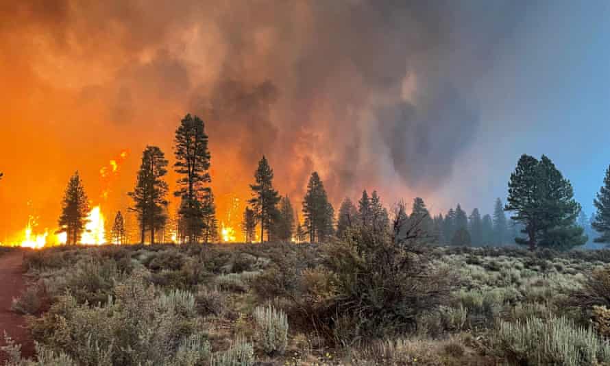
After the recent fires that still continue to burn in the American west, Google has just unveiled its new feature for Google Maps that will help with navigating your route by showing you whether your selected route is incinerated by a wildfire or not. While it sounds crazy, it’s a pretty useful feature since there has been a number of incidents of wildfires.
The new feature is expected to roll out next week according to this blog post by Google Earth. According to Rebecca Moore, Earth Engine Director, the global version will include up-to-date information on “most major fires that cause significant evacuations.”

The weather in the U.S has been quite unpredictable, causing massive wildfires in different regions. The Bootleg Fire in Southern Oregon has already burnt about 530 square miles of forest and is not stopping anytime soon. Marcus Kauffman, a spokesman for the state forestry department, told the Times. “Normally the weather predicts what the fire will do. In this case, the fire is predicting what the weather will do.” This new layer would be quite helpful for people who live near wildfire-prone areas or areas that are still burning by wildfires and can spread to other areas as some fires have even reached speeds of 15 miles per hour which is concerning.
There will be extensive details about more fires in the US thanks to the extra data obtained from the National Interagency Fire Center and hopefully in the upcoming months, Google will be able to provide accurate results for other countries as well and improve the data overtime. If this isn’t a wake-up call to preserve our environment, then I don’t know what is.
