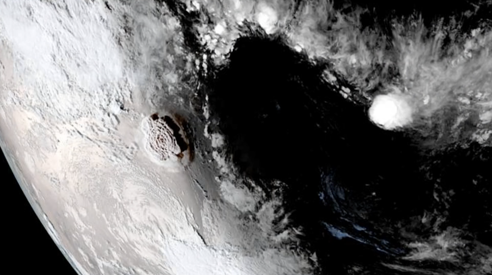
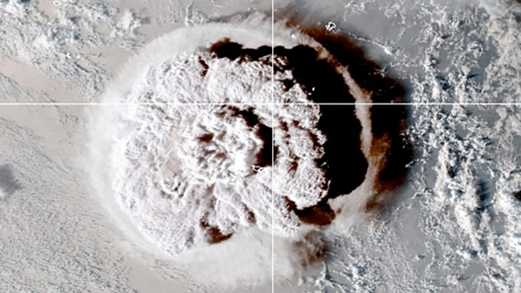
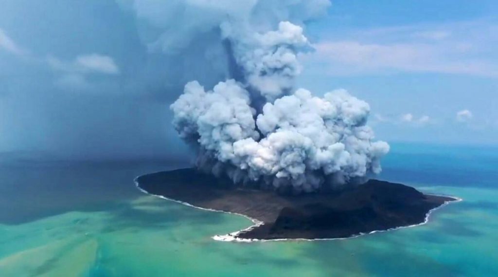
On Saturday, a strong undersea volcanic eruption in Tonga was recorded in spectacular photographs by an Earth-observing satellite.
The footage developed by the United States National Oceanic and Atmospheric Administration shows a massive plume rising high into the atmosphere, demonstrating the eruption’s enormity. It depicted the tsunami waves crashing into the San Lorenzo River. As the tidal surge hit, the city’s harbour was also submerged in water.

The Hunga-Tonga-Hunga-Ha’apai volcano, located just under 20 miles from Tonga’s Fonuafo’ou island, erupted with a radius of 162 miles and released a cloud of ash, gas, and steam as high as 162 miles.

From the shock waves that quickly spread away from the core to the overwhelming intensity of the explosion, images from the satellite recorded the eruption in breathtaking detail. It is one of the most intense volcano explosions ever caught on a satellite.
On Monday, the New Zealand officials aim to deploy military surveillance planes over the volcano to examine its status, followed by help and supplies for Tonga.
More than 210,000 people were told to escape as the tsunami devastated Japan’s eastern coast. According to reports, waves as high as 9 feet were reported in Iwate County. Damage assessments were still being conducted in the afflicted areas early Monday morning.

This isn’t the first time this volcano has erupted; it was erupting irregularly in late December but has since been declared inactive. The most recent eruption was on December 20, but the latest eruption is seven times more intense than before.


