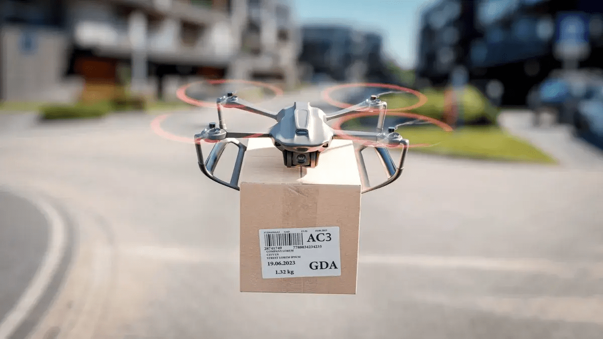
In a groundbreaking partnership between The University of Tokyo and Japan’s telecommunications giant, NTT, a pioneering radio-frequency identification (RFID) system, has taken center stage, rewriting the rules of autonomous drone navigation. This technological marvel has stepped up to tackle the shortcomings of conventional image-based guidance, particularly when drones are faced with remote locations and adverse weather conditions.
The surge in civil drone applications has sparked a demand for cutting-edge navigation solutions. Historically, drones leaned on imaging to decipher their whereabouts. However, as autonomy in drone control gains prominence, ensuring a drone’s spatial awareness becomes an intricate puzzle, often necessitating the deployment of GPS and image recognition technologies. Unpredictable weather conditions, like dense fog and heavy rain, pose additional challenges to image-based navigation, jeopardizing the precision and reliability of drone missions.
The Japanese research team turned to the ingenious world of RFID technology to conquer these obstacles. RFID tags, commonly found on items like books and merchandise, are battery-less wonders momentarily energized by a radio signal from an RFID reader. They then relay stored information back to the reader through an integrated antenna.
The crux of this innovation revolved around integrating RFID tags into autonomous drones, enabling them to chart their course and execute designated tasks. Since communication operates through millimeter-wave frequencies, the signals can span several miles, allowing drones to stay connected with RFID tags even when they’re out of direct sight.
The researchers recognized the inherent limitations of traditional RFID tags, which primarily function over short distances, and amplified their reflective capabilities. This feat was accomplished by introducing corner reflectors to the tags, broadening the signal transmission and reception scope. This enhancement proved indispensable, particularly when deploying drones in the bustling confines of urban landscapes.
Furthermore, the research team engineered a novel signal-processing pipeline to enhance precision and surmount the restrictions of millimeter-wave RFID technology. This technological leap was pivotal in ensuring accurate navigation, particularly in areas characterized by narrow reading ranges.
While one may question the rationale behind employing GPS for drone navigation, the researchers swiftly debunked this notion. GPS-based navigation necessitates the presence of two GPS modules, one aboard the drone and the other at the landing site. This approach drives up installation and maintenance expenses, in addition to mandating a constant power source at the landing point. In remote, desolate locales, these demands often prove impractical.
On the flip side, battery-less RFID tags are versatile powerhouses, capable of operation anywhere across the globe, devoid of external power sources. Their longevity and reliability, even over the span of years, make them a pragmatic choice for diverse applications. This solution holds the potential to address pressing requirements in remote healthcare and disaster response, offering a versatile and efficient alternative that isn’t reliant on the availability of infrastructure.
The RFID revolution is poised to lead the way in a new era of drone navigation, reshaping the boundaries of what’s possible.

