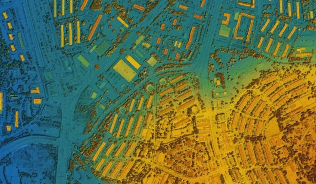
Satellite Vu, a startup based in London, is launching a new satellite called HotSat-1 to address the impact of climate change worldwide. HotSat-1 has advanced technology that allows it to see individual rooftops and walls from a height of 311 miles. The infrared sensor used in the satellite was funded by the UK and European space agencies.
“We’re introducing the first thermometer in the sky. Satellite Vu is launching a constellation of eight satellites that can measure the heat output from any building on the planet,” said the startup CEO Anthony Baker.
This invention has the potential to reduce household fuel costs if the UK’s traditional houses are retrofitted accordingly. The UK aims to achieve net-zero emissions by 2050 and is making infrastructure changes to speed up the process. Many homes in the country were built before 1970 and are not energy-efficient.
The CEO of Satellite Vu emphasizes the urgent need to combat climate change.
He says, “Here’s an instrument where you can measure the effects so that you can direct people to the worst buildings or the worst leakage of energy or pollution in the sea or failed solar cells and so they can take corrected action.”
By accessing city-wide data, the company can quickly identify the worst-performing buildings and drive improvements to them. The satellite can also identify structures and open spaces that contribute to the urban heat island effect, such as large car parks at retail centers. These types of buildings can significantly raise temperatures in towns and cities.
As a result of identifying structures contributing to rising temperatures, planners could get an idea of where best to plant trees and cool the environment, BBC said.
As global temperatures continue to rise, NASA launched the Applied Remote Sensing Training Program (ARSET) in 2022. This program aims to mitigate the impacts of heat waves and develop heat vulnerability indices to reduce health risks for urban populations.
The training highlighted the importance of remote sensing and thermal mapping from satellites. It aimed to “provide global, timely, objective observations to monitor the effects of urban heat islands (UHI) over time and monitor land surface temperature (LST) respectively.”
NASA said, “With the mapping of UHIs, incorporating socioeconomic data about population, demographics, and health information into heat vulnerability indices (HVI) can help guide interventions to manage heat-related risks to public health.”
HotSat-1 is capable of monitoring pollution and detecting sudden temperature changes in river water, among other things. To test its sensor, an aircraft flew over the London Borough of Ealing, and the data collected was monitored by Britain’s national mapping agency, Ordnance Survey (OS).
OS will have access to will have early access to the satellite’s data. Donna Lyndsay from OS said, “OS will combine the data with our intelligence and then test it on our customers.”

