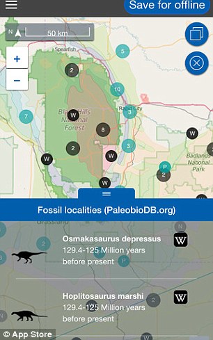
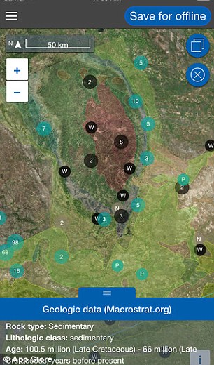
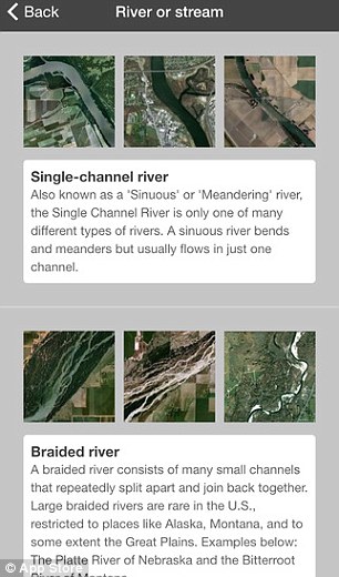
Traveling on a plane can be fun especially if you have a window seat and you can see the magnificent landscapes below. In particularly long flights like across continents, we don’t usually know what part of the world we are zooming across and can’t ask the air host again and again about it, so we have to be content with appreciating the beauty of it. Most of us aren’t really good with maps either and we can’t just look at maps and tell where we should be flying above right now. This simple app allows you to look at the landscape and identify it right away. It works well from a distance and nearby as well. It can show you famous landmarks, rivers, glaciers and even buried fossils when you are passing through that place. Amazing, isn’t it?


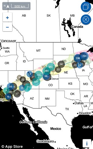
The “Flyover Country” app uses data from Geological and Paleontology databases to tell you about your land so you can experience it in a much better way. It will be particularly useful on a road trip, hike or air travel. You just have to select a starting point and a destination, and the app will trace a great arc around it and identify all kinds of stuff lying in your journey. You load this path and then save it for offline usage so that you can view it on the go where there is no mobile data or Wi-Fi. You can then toggle GPS to follow the path, and it can tell you exactly where you are at any time. Due to the downloaded data, the cache remains largely free, and thus, the phone doesn’t slow down or consume battery like crazy.


Shane Loeffler is the man behind the inception of this project. He was flying across the glacial foundations of Newfoundland and Quebec and thought how good it would be to know what exactly was underneath him. He made this app fulfill this purpose and was supported financially by the National Science Foundation. iOS and Android users can download this handy app from their app stores now. So, next time you are flying on a plane or trekking, is sure to check where you are and what interesting stuff you can find in the vicinity!


