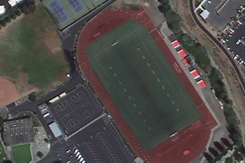
According to reports, a small Chinese satellite captured images of a broad region around a US city in 42 seconds that are detailed enough to identify a military vehicle and the type of weapon it might be carrying.
Beijing-3, a small one-ton commercial satellite launched by China in June, completed an in-depth examination of the core area of San Francisco Bay (3,800 square kilometres or 1,470 square miles), according to scientists participating in the investigation.
Since attitude control devices can induce vibrations that blur photographs, most Earth observation satellites must be steady when capturing images. However, during this experiment, the Beijing-3 yawed rapidly, changing the angle of its camera’s line of sight to the ground while flying over North America. The mobility enabled it to cover a broader region than satellites had previously.
The photograph was captured from a height of 500 kilometres (310 miles) and had a resolution of 50 centimetres per pixel. The satellite’s performance test revealed that it could collect imagery while twisting at up to 10 degrees per second, a pace never seen on a satellite before.
“China started relatively late on agile satellite technology, but achieved a large number of breakthroughs in a short period of time,” said project lead scientist Yang Fang and her colleagues of the DFH Satellite Company, writing in a paper published in the journal Spacecraft Engineering.
“The level of our technology has reached a world-leading position.”
Despite its reasonable size and inexpensive cost, Beijing-3 was regarded as the most manoeuvrable spacecraft and could be one of the most powerful Earth observation satellites ever built, according to Yang.

