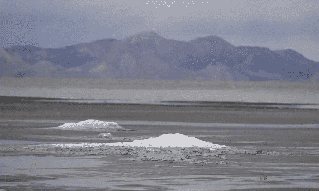
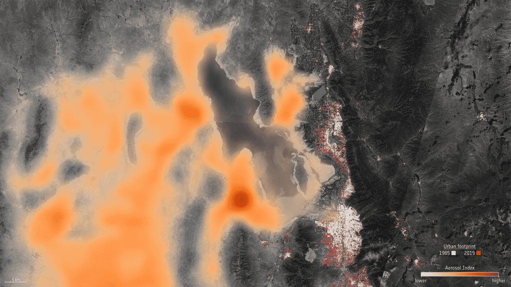
The European Space Agency satellite’s new photographs show the extent of declining water levels in Utah’s Great Salt Lake, a month after it achieved its lowest water level ever reported.
The analysis compares satellite pictures from 1985 and 2022, highlighting diminishing water levels and the lake’s shrinking size. It encompassed around 3,300 square miles at its peak in the 1980s; the latest reports show that it has lost about half its surface area compared to the historical average. The new record, set last month, was the second historical low in less than a year.

The US Geological Survey reported that the decline in water levels during a megadrought that affected the country’s southwest exposed some 770 square miles of the lakebed.
The decline of the lake has been attributed to drought brought on by climate change and water consumption, as well as the diversion of water from streams meant to replenish the lake for use in urban and rural areas.
As Utah’s population has increased, so has the need for lake water. Currently home to more than 3.3 million people, the population is anticipated to grow by about 50% by 2060, making it the state in the country with the greatest rate of population growth.

The lake, together with the wetlands nearby, provides a haven for a variety of species and annually draws more than 10 million migratory birds. In addition, the lake is used by about 330 different species for food, but it is now in danger due to rising salinity levels.
The drying lake not only endangers wildlife but also human health. Due to lakebed exposure, dust that contains dangerous byproducts of the area’s mining operations, like copper and arsenic, which can cause lung problems if inhaled, is blown onto nearby settlements.

According to officials, the lake will continue to shrink until at least early winter, when rain and snow will start to replenish some of the water lost.


