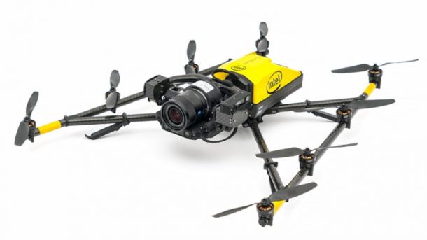
The Great Wall of China has a length of almost 13,000 miles. This is a considerable length for a wall, and as a result, some parts of it have started falling. This is because their locations are remote and very hard to reach. However, technology has stepped in to provide a solution to this problem. Intel has started working with China Foundation for Cultural Heritage Conservation to use drones which will create 3D scans of the walls.

They will first go to the Jiankou portion of the wall which is situated in the hills of north Beijing. They will take high-resolution 3D pictures which allow conservationists to build an accurate picture of the wall’s present state. Some part of the sections is on steep inclines and in the dense forests. These locations have posed a big challenge for the conservation group to assign people who can inspect and capture pictures of the whole area.

The AI data capture system of the US company will form a visual representation of the Jiankou section to identify the parts which need repairing. Intel’s Falcon 8+ drones will be used to inspect the map and take aerial photographs of the Jiankou section in the upcoming months. This will provide HD 3D images which will determine the site’s current condition. This is not the first project which will use the digital conservation techniques to capture and preserve the world’s most iconic heritage sites. These HD scans have been used by CyArk to build digital recreations of locations of cultural importance. Tech valley, a technology company, has used drones to assess the damage to Baltit fort in Hunza, Pakistan and provide remedial solutions.
A pretty cool use of drones, isn’t it?


