Google Earth was the first geo-informatic system available for the public to view. It uses satellite imagery and superimposes them over a globe to create a 3-D virtual experience of Earth right from Earth till zoomed very close. Even now when Google Street View has been introduced and people can virtually walk on the streets, the importance of Google Earth hasn’t diminished even a little bit. Since Google Earth encompasses all Earth, there are bound to be some really interesting sights present in it. You might have seen a few already, but here we will present you with some of the most amazing views ever experienced by Google Earth viewers. Here they are:
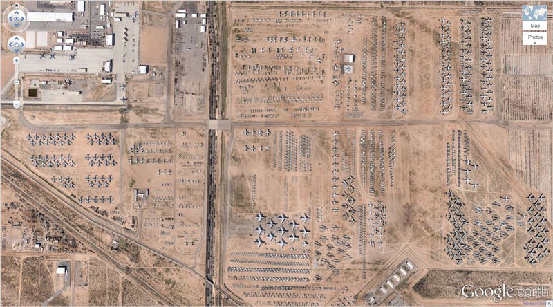
1. 32 ’59? N, 110 50’09.03?W Tucson, Arizona
It is probably the biggest airplane boneyard in the world.
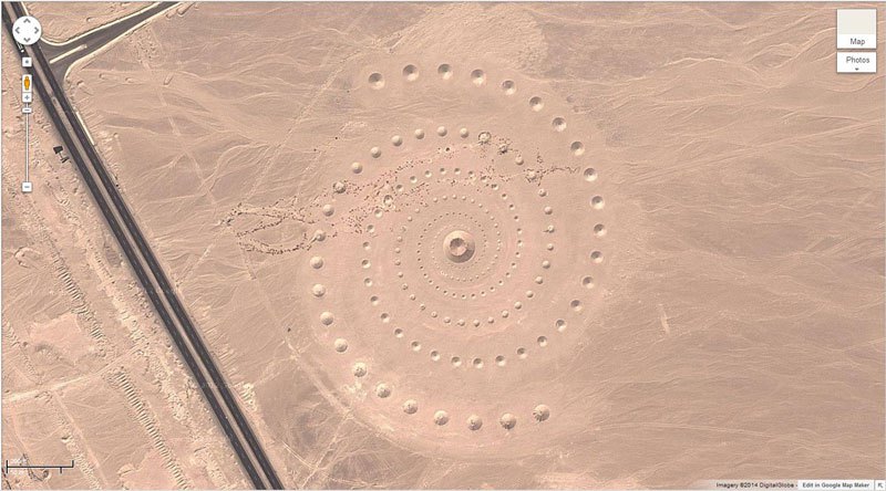
2. 27°22’50.10?N, 33°37’54.62?E Red Sea Governorate, Egypt
Mysterious desert pattern. It is a land art project from D.A.S.T Arteam.
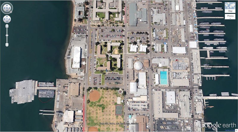
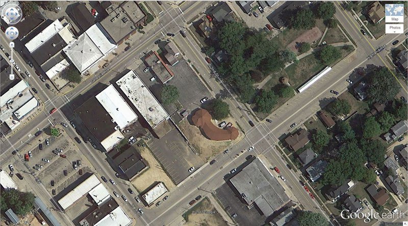
3.32°40’34.19?N 117° 9’27.58?W Coronado, California, USA
Nazi Sigel Swastika shaped building in USA!!
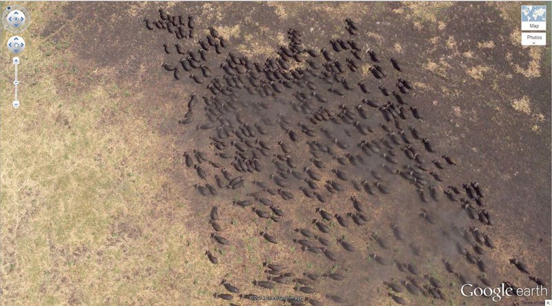
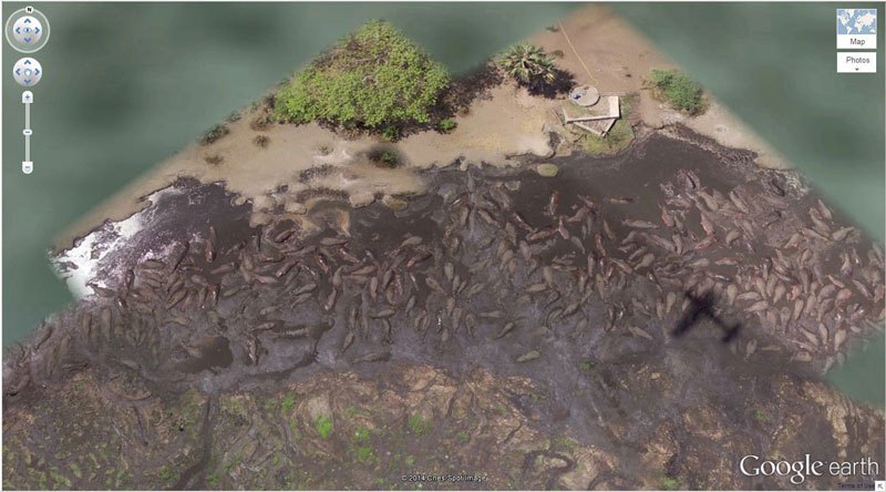
4. 4°17’21.49? S 31°23’46.46? E Tanzania
A beautiful sight but I don’t think you cna ever see it anymore on the same location. The herd must have moved on.
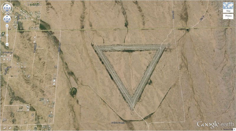
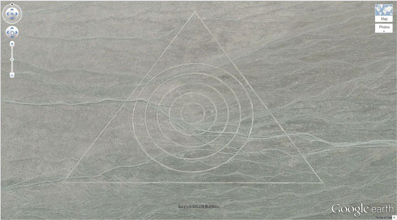
5. 33.747252, -112.633853 Wittmann, Arizona, USA
A giant triangle as seen from the sky.
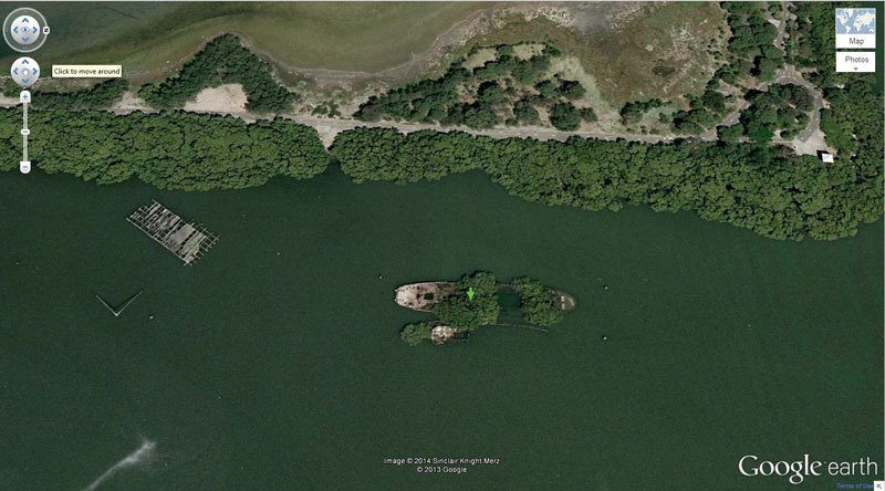
6. 33.836379, 151.080506 Homebush Bay, Sydney, Australia
A beautiful view of an old shipwreck from which trees and other greenery has grown over the years.
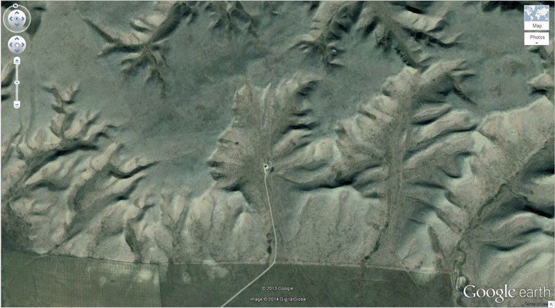
7. 50° 0’38.20?N 110° 6’48.32?W Walsh, Alberta, Canada
The Badlands Guardian is an amazing view from Canada.
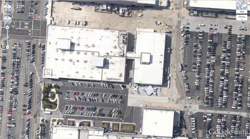
8. 33.927911, -118.38069 El Segundo, California, USA
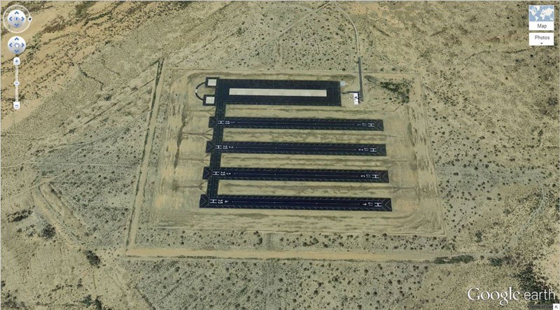
A former parking lot of jets converted into a car parking.
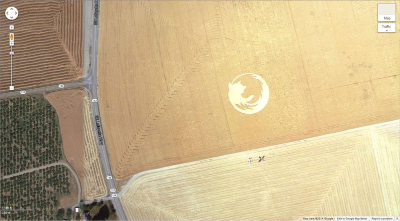
9. 45° 7’25.87?N 123° 6’48.97?W Dayton, Oregon, USA
Firefox logo in Oregon, USA.
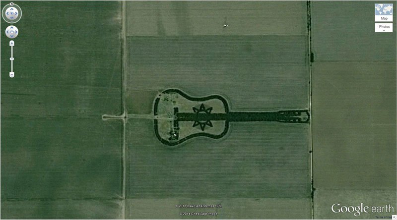
10. 33.867886, -63.987 Córdoba, Argentina
This guitar-shaped forest in South America is amazing to see.
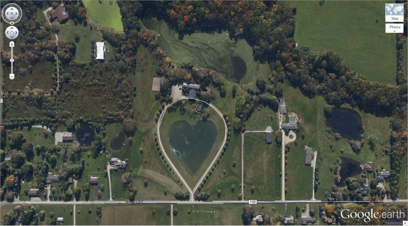
11. 41.303921, -81.901693 Columbia Station, Ohio, USA
This heart shaped lake in Ohio, USA seems surreal.
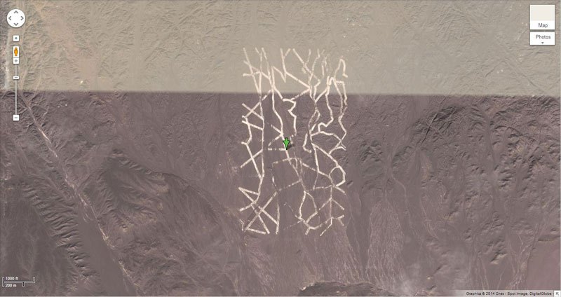
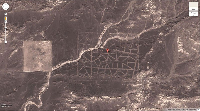
12. 40.452107, 93.742118 China
This mysterious desert pattern in China has baffled people from over the world.
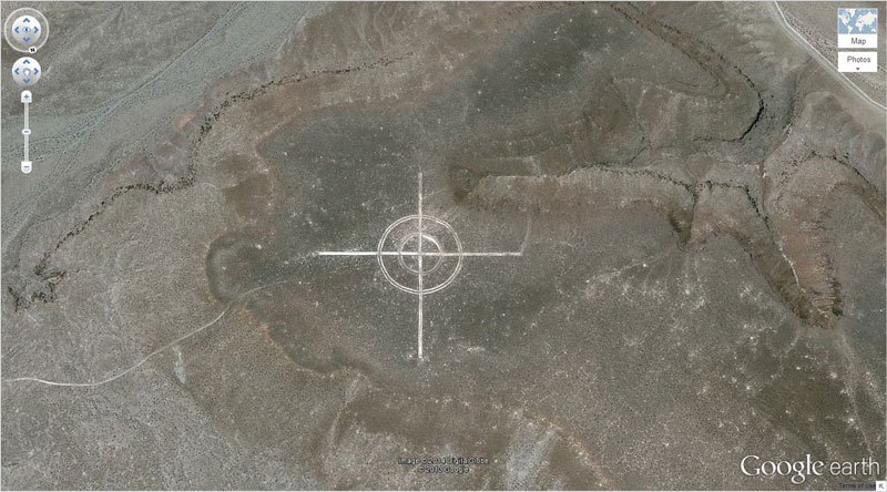
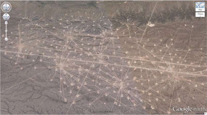
13. 37.563936, -116.85123 Nevada, USA
Since it is in Nevada, we can only assume it is some kickass top secret project.
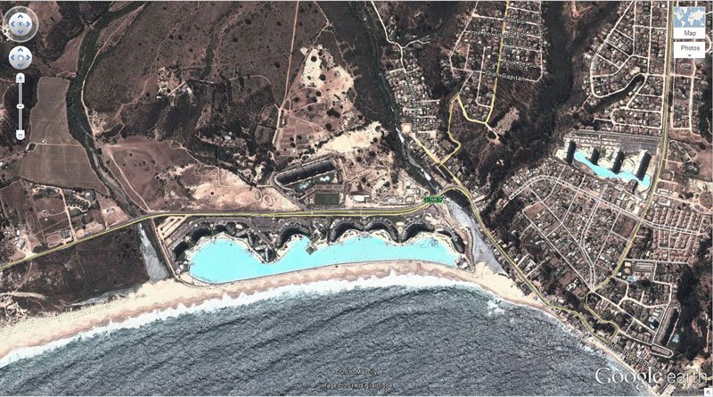
14. 33.350534, -71.653268 Algarrobo, Valparaíso, Chile
It is the world’s biggest pool!! Its presence close to the seaside has been shown here.
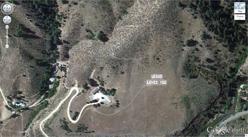
15. 43.645074, -115.993081 Boise National Forest, Boise, Idaho, USA
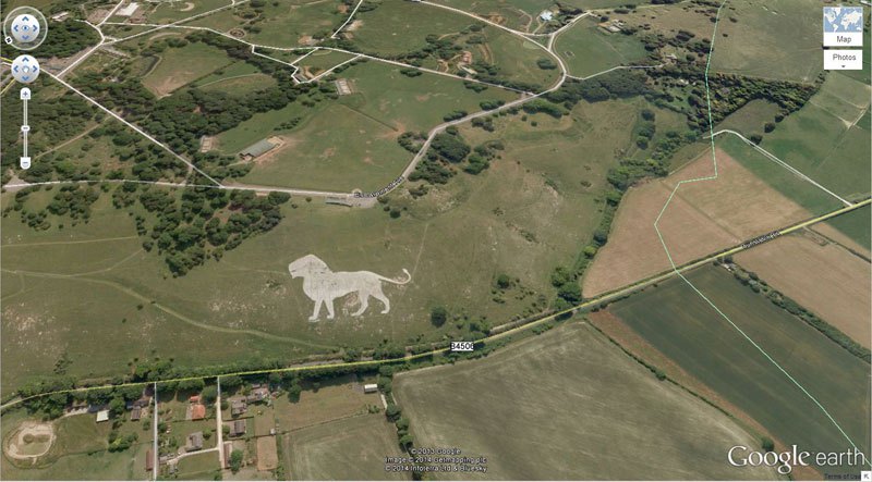
16. 51.848637, -0.55462 Dunstable LU6 2LD, UK
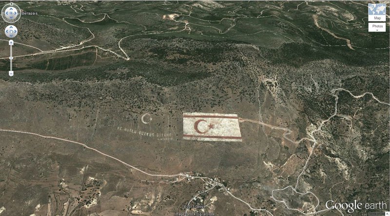
17. 5.282902, 33.376891 Kyrenia, Cyprus
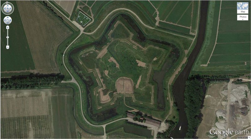
18. Schansdijk 5, 4655 De Heen, The Netherlands
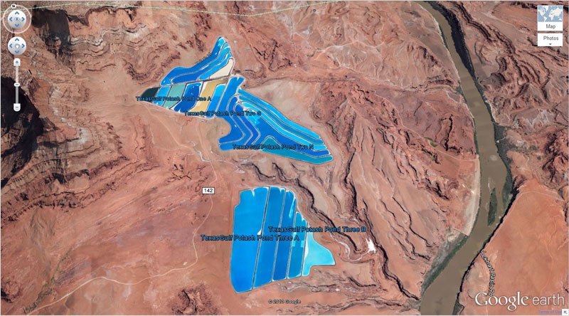
19. 38°29’0.16?N 109°40’52.80?W Moab, Utah, USA
20. 37.629562, -116.849556 Nevada, USA
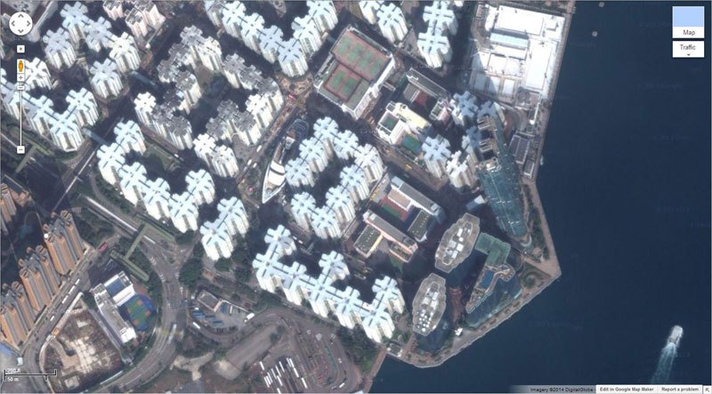
21. 22°18’14.15?N, 114°11’24.66?E Hung Hom, Kowloon, Hong Kong
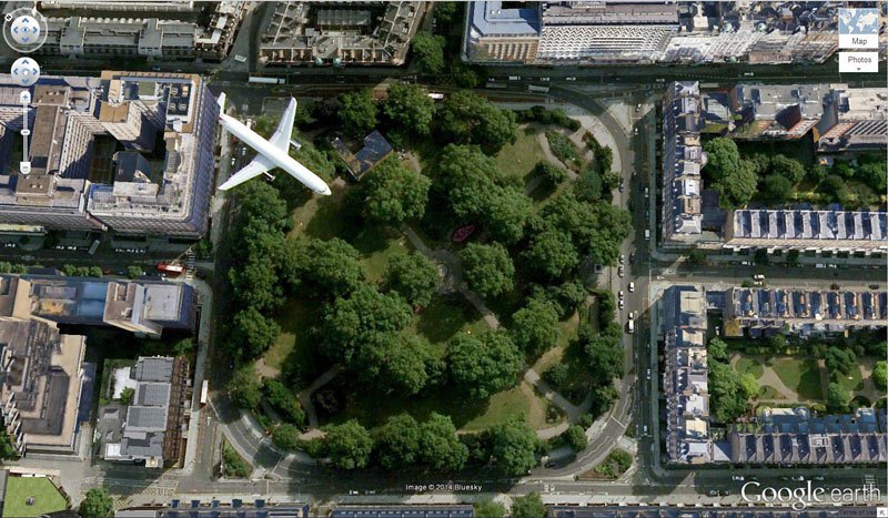
22. Bloomsbury, London, United Kingdom
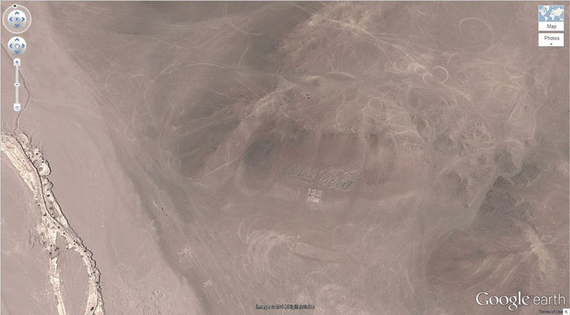
23. 18.529211, -70.249941 Arica, Arica y Parinacota, Chile
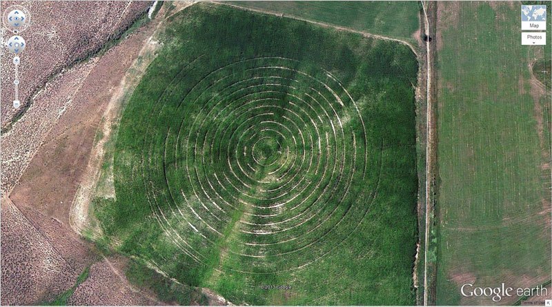
24. 39.623119, -107.635353 New Castle, Colorado, USA
25. 69.793° N, 108.241° W Northern Canada
26. 51°19’18.13?N, 6°34’35.64?E Krefeld, Germany
27. 37.401573, -116.867808 Nevada, USA
28. 65.476721, -173.511416 Russia
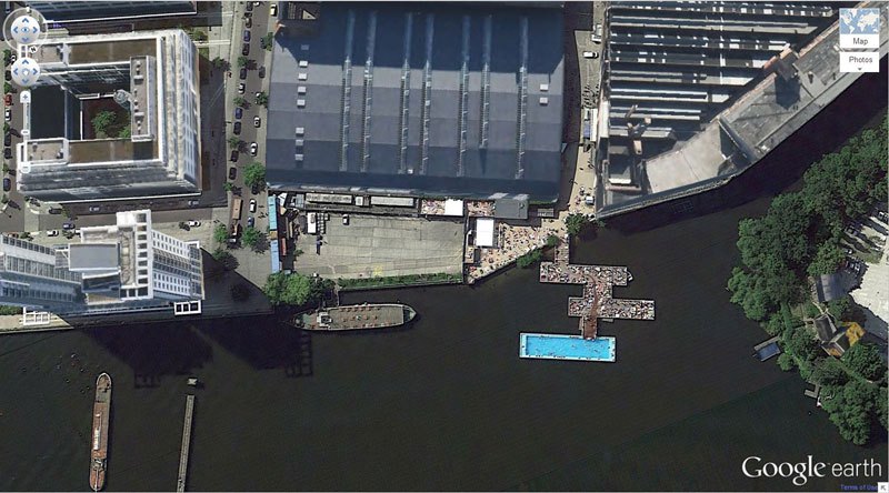
29. 52°29’52.24?N 13°27’13.67?E Berlin, Germany
30. 41.84201, -89.485937 Dixon, Illinois, USA
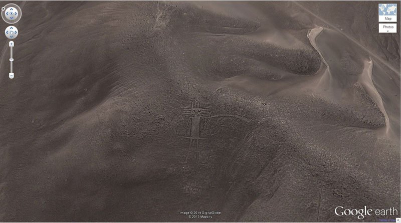
31. 19°56’56.96?S 69°38’1.83?W Huara, Tarapacá, Chile
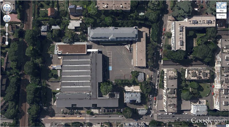
32. 48.825183, 2.1985795 92410 Ville-d’Avray, France
33. 40.458148, 93.393145 China
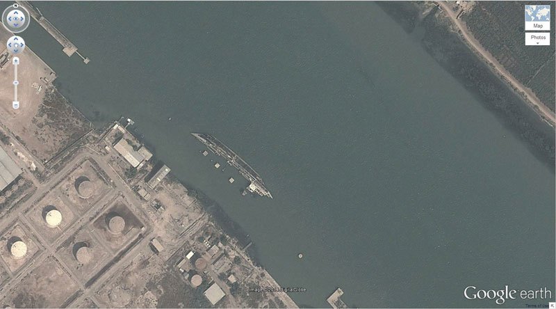
34. 30.541634, 47.825445 Basrah, Iraq
35. 32.663367, -111.487618 Eloy, Arizona, USA
36. 37°39’16.06?S 68°10’16.42?W Rio Negro, Argentina
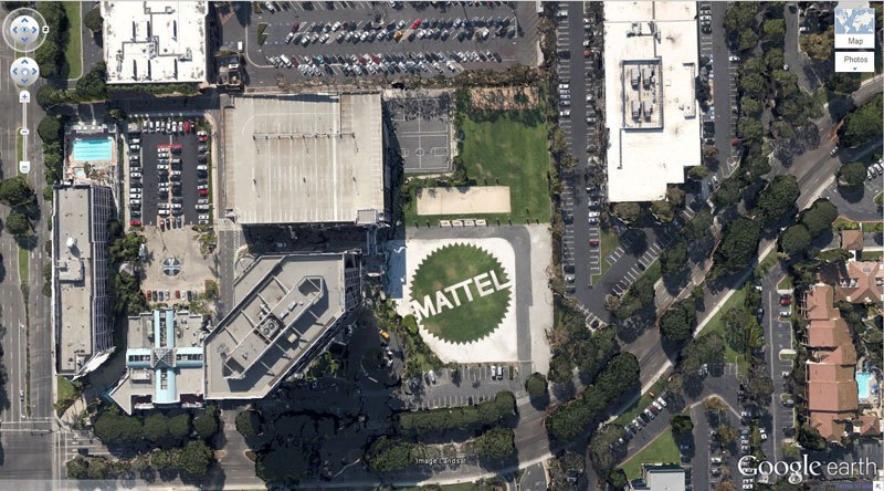
37. 33.921277, -118.391674 El Segundo, California
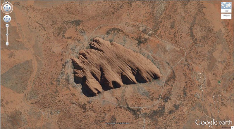
38. -25.344375, 131.034401 Northern Territory, Australia
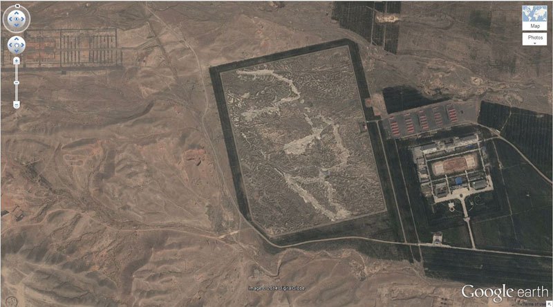
39. 38.265652, 105.9517 Yong Ning Xian, Yinchuan, Ningxia, China
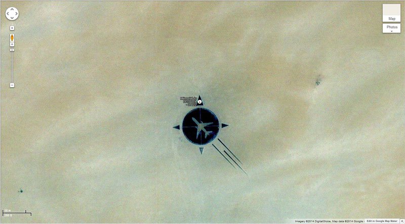
40. 16.864841, 11.953808 Sahara Desert, southern Ténéré of Niger
41. 20°56’15.47?S, 164°39’30.56?E New Caledonia
42. Rainbow Plane Cathy Terrace Englewood Cliffs, New Jersey , USA
43. 35.027185, -111.022388 Winslow, Arizona
44. 35.141533, -90.052695 Memphis, Tennessee, USA
45. 6°53’53.00? S 31°11’15.40? E Katavi National Park, Tanzania
46. 34.871778, -116.834192 Daggett, California
47. 7300 Airport Blvd, Houston, TX 77061, USA
48. 12°22’13.32?N, 23°19’20.18?E Sudan
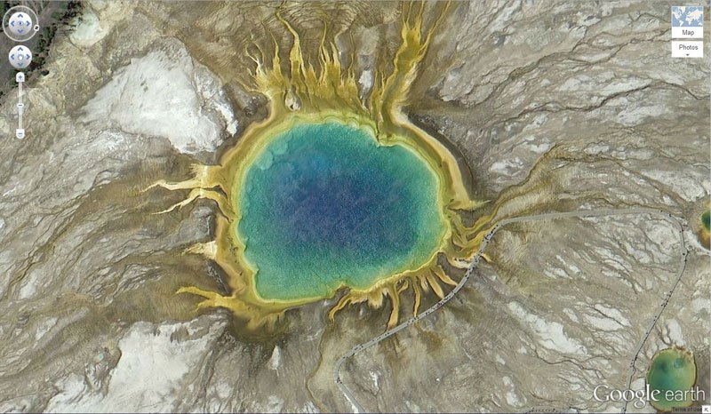
49. 44.525049, -110.83819 Yellowstone National Park, Wyoming, USA
It is a beautiful prismatic spring present over there.
50. Batman Symbol 26.357896, 127.783809


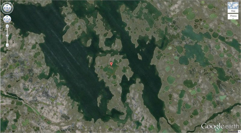
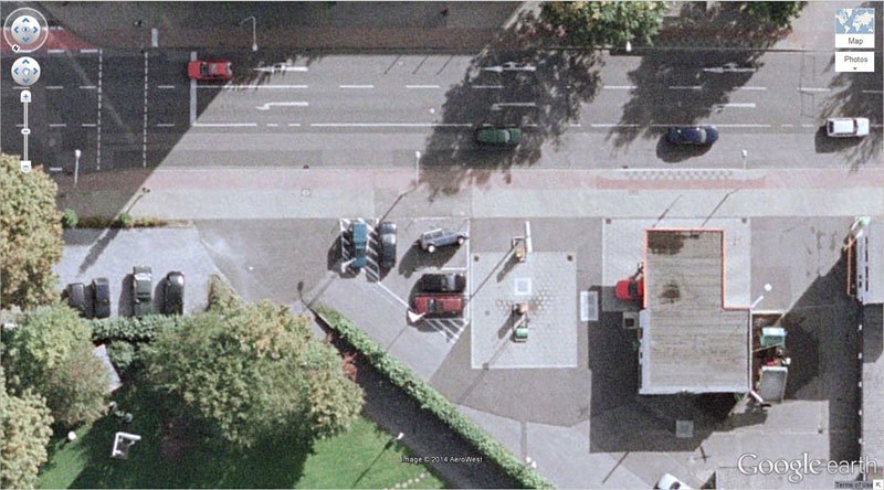
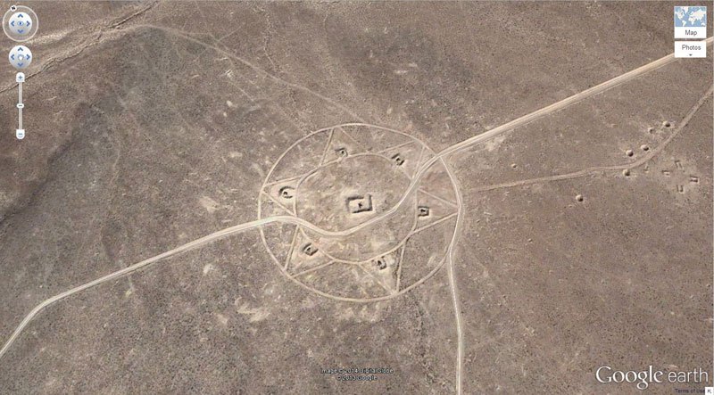
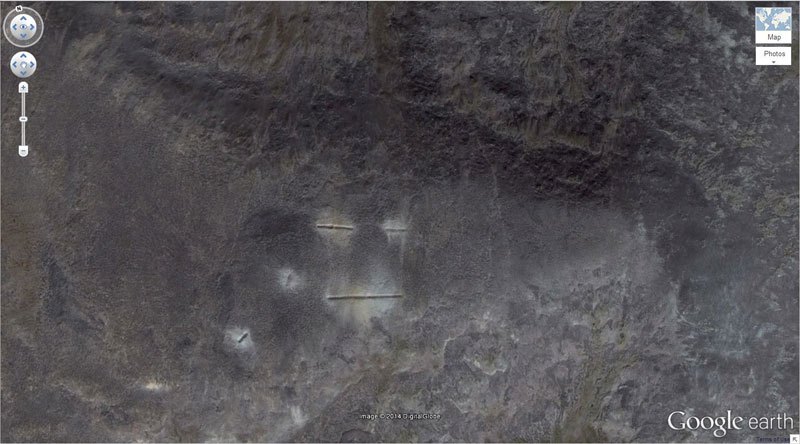

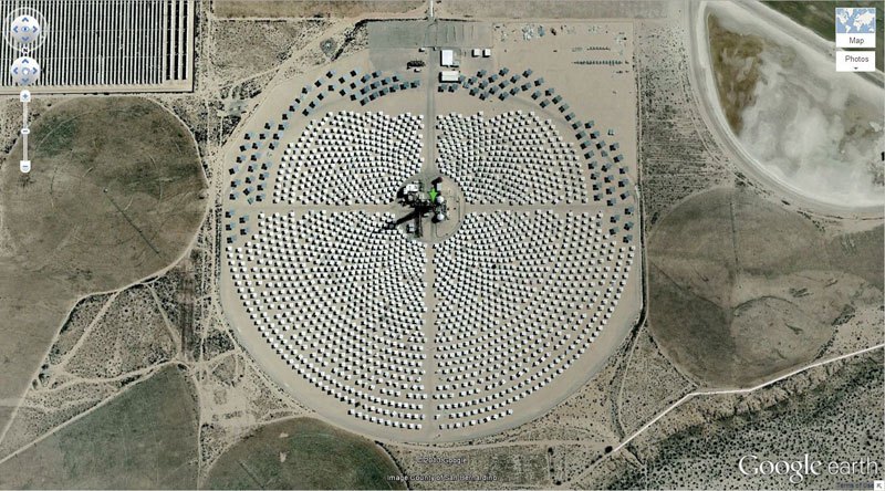
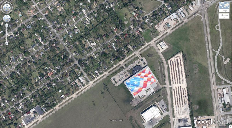
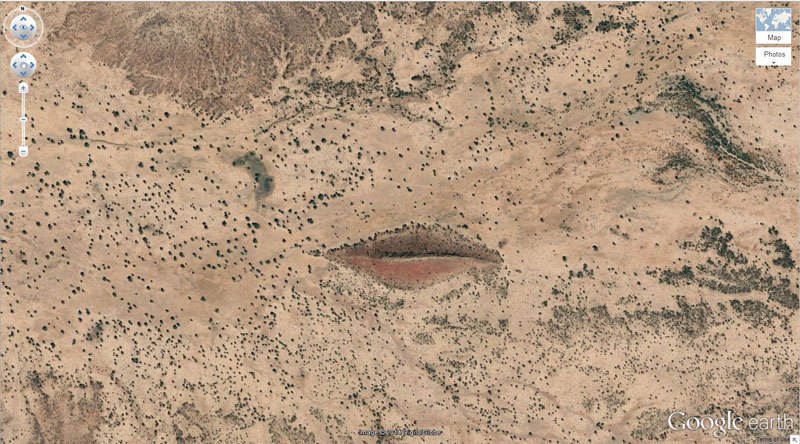
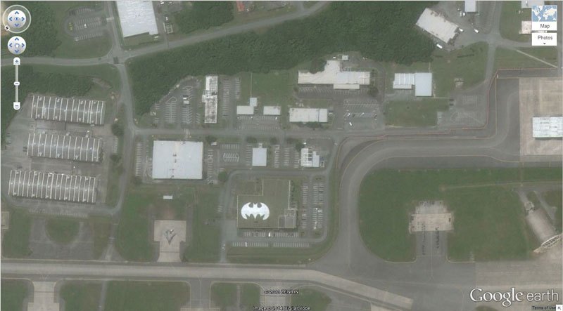

What about this one?
Tear Lake (Ansoo Lake)
https://www.google.com/maps/place/Ansoo+Lake,+Pakistan/@34.813883,73.67665,3a,75y,90t/data=!3m8!1e2!3m6!1s94680222!2e1!3e10!6s%2F%2Fstorage.googleapis.com%2Fstatic.panoramio.com%2Fphotos%2Fsmall%2F94680222.jpg!7i4000!8i3000!4m2!3m1!1s0x38e74d47fb98594b:0xd590179745bfb161!6m1!1e1